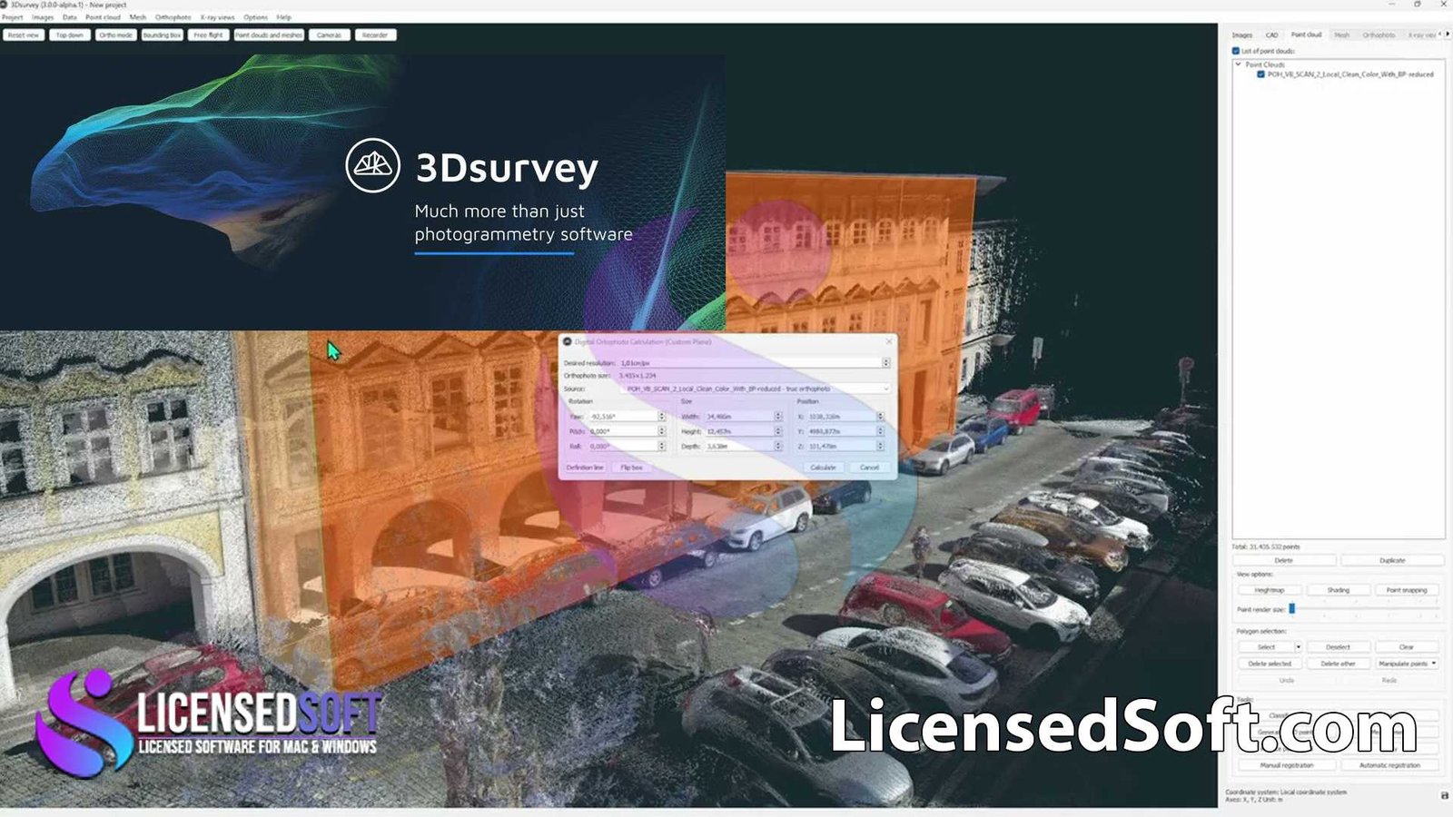
3Dsurvey 3.0 Perpetual License. 3Dsurvey 3.0 is a professional photogrammetry software designed for land surveyors, construction professionals, and GIS specialists. This powerful tool allows users to process aerial, terrestrial, and drone-captured images to generate highly accurate 3D models, digital surface models (DSM), digital terrain models (DTM), orthophotos, and more. The software is widely used for tasks such as topographic surveys, site monitoring, volume calculations, and other geospatial applications.

Key Features of 3Dsurvey 3.0:
- Image Processing: Converts raw images from drones or other cameras into 3D models with high precision.
- Survey-Grade Accuracy: Provides results with survey-grade accuracy, making it ideal for professional land surveying and construction applications.
- Automatic Ground Control Points (GCP) Detection: Automatically detects and uses GCPs to enhance the accuracy of the generated models.
- Volume Calculation: Easily calculate volumes of stockpiles, excavation sites, or other terrain features.
- Orthophoto Generation: Create high-resolution orthophotos that can used for mapping and analysis.
- Digital Elevation Models (DEM): Generate accurate digital elevation models for use in GIS and other applications.
- Cross-Section and Contour Line Generation: Automatically generate cross-sections and contour lines from your 3D models.
- Measurement Tools: Includes a variety of tools for measuring distances, areas, and angles directly within the software.
- Point Cloud Support: Supports the import and export of point clouds for further processing or use in other software.
- User-Friendly Interface: Designed with an intuitive interface that simplifies complex tasks, making it accessible to users with varying levels of experience.
- Perpetual License: Grants indefinite access to the software, ensuring long-term use without the need for subscription renewals.
System Requirements for 3Dsurvey 3.0:
- Operating System: Windows 10 or 11 (64-bit).
- Processor: Intel Core i7 or higher, or AMD equivalent.
- Memory: 16 GB RAM minimum (32 GB or more recommended for handling large datasets).
- Storage: 10 GB of available disk space for installation; additional space required for processing and storing large image datasets.
- Graphics: NVIDIA GeForce GTX 1060 or higher with at least 4 GB VRAM (recommended for optimal performance).
- Display: 1920×1080 resolution or higher recommended.
- Internet: Internet connection required for software activation, updates, and support.
Overview
3Dsurvey 3.0 is an essential tool for professionals who need to create accurate and detailed 3D models from imagery. With its advanced photogrammetry capabilities and user-friendly design, it provides an efficient solution for a wide range of applications, including land surveying, construction, and GIS. The perpetual license ensures that users can rely on the software for years to come, making it a solid investment for professionals in the field.


