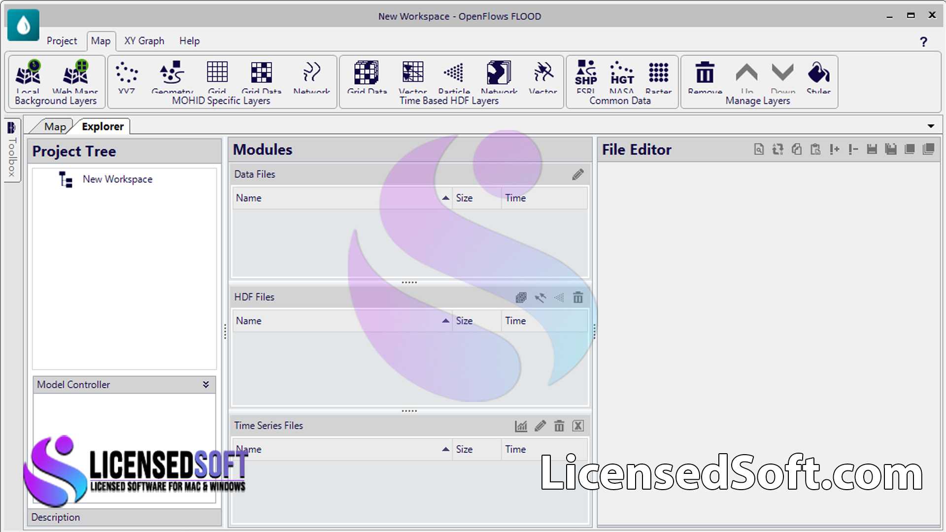
Bentley OpenFlows FLOOD Connect Edition 10 Yearly License. Bentley OpenFlows FLOOD Connect Edition 10 is a sophisticated software solution designed for modeling and simulating flood events and managing water resources in various environments.
The software is capable of simulating floods in rivers, urban areas, and coastal regions. Making it an essential tool for hydrologists, engineers, and environmental scientists who are focused on flood risk management, water resource planning, and environmental protection.

Key Features of Bentley OpenFlows FLOOD Connect Edition 10:
- Integrated 1D/2D Modeling: Simulate both one-dimensional (1D) river flows and two-dimensional (2D) floodplain dynamics to provide a comprehensive understanding of flood behavior across different terrains.
- Hydraulic and Hydrological Modeling: Perform detailed hydrological analyses, including rainfall-runoff processes, watershed modeling, and water balance assessments to predict the movement of water within a given area.
- Urban Flooding Simulation: Model urban drainage systems, including stormwater networks. It predict flooding in urban environments and assess the impact of infrastructure on flood risks.
- Coastal and Estuarine Flooding: Simulate tidal effects, storm surges, and wave propagation in coastal and estuarine areas. Allowing for the assessment of flood risks from the sea.
- Climate Change Impact Analysis: Evaluate the potential impacts of climate change on flood risk by simulating scenarios with varying rainfall intensities, sea levels, and other environmental factors.
- Real-Time Flood Forecasting: Integrate real-time data, such as rainfall and river gauge readings. It provide accurate flood forecasts and support emergency response planning.
- Geospatial Data Integration: Utilize GIS data for spatial analysis and visualization. Helping to identify flood-prone areas and optimize flood management strategies.
- Scenario Management and Comparison: Create and compare multiple flood scenarios to assess the effectiveness of different flood mitigation measures and inform decision-making.
- Advanced Visualization: Generate detailed maps, animations, and reports to visualize flood extents, water depths, and flow velocities, facilitating communication with stakeholders.
- Environmental Impact Assessments: Model the environmental impacts of floods. Such as sediment transport, water quality changes, and ecosystem disruption, to support sustainable water management.
System Requirements for Bentley OpenFlows FLOOD Connect Edition 10:
- Operating System: Windows 10 or 11 (64-bit).
- Processor: Intel or AMD multi-core processor with a minimum speed of 2.5 GHz.
- Memory: 16 GB RAM minimum (32 GB or more recommended for large-scale models).
- Storage: 20 GB of available disk space for installation; additional space required for project data and outputs.
- Graphics: DirectX 11 compatible graphics card with at least 2 GB VRAM.
- Display: 1920×1080 resolution or higher recommended.
- Network: Internet connection required for software activation, updates, and real-time data integration.
Overview
Bentley OpenFlows FLOOD Connect Edition 10 is an all-encompassing tool for flood modeling and water resource management. Its capabilities extend from detailed hydraulic modeling to large-scale floodplain and urban flooding simulations. Making it ideal for projects that require an understanding of flood dynamics across diverse environments.
Whether dealing with riverine flooding, urban drainage issues, or coastal storm surges. This software provides the tools needed to predict and mitigate flood risks effectively. The yearly license ensures access to the latest features, updates, and technical support. Allowing users to maintain cutting-edge capabilities in flood risk management and environmental protection.


