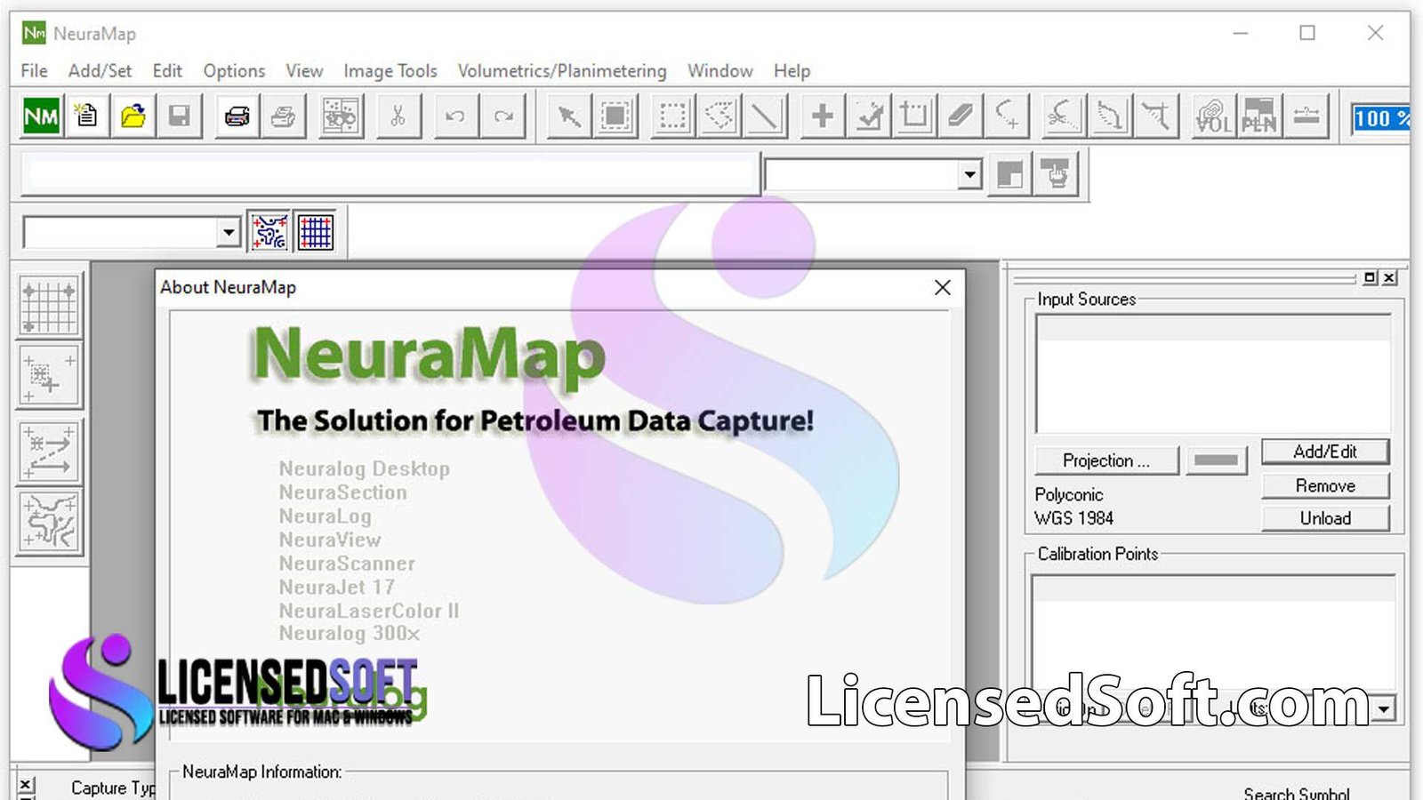
NeuraMap 2022.1 Full Version. NeuraMap 2022.1 is a cutting-edge geospatial machine learning platform designed to assist environmental consultants, urban planners, and energy engineers in deriving actionable insights from remote sensing data. It enables automated land use classification, anomaly detection, change mapping, and asset monitoring based on satellite and drone imagery. Making geospatial analysis scalable, repeatable, and precise. You can also get NeuraLog 2025.03 Full Version from LicensedSoft.

NeuraMap 2022.1 Key Features:
- AI-Powered Land Cover Classification – Automatically processes satellite or drone imagery to categorize terrain (e.g., vegetation, water, developed, bare soil) using deep-learning models optimized for different resolutions and regional datasets.
- Change Detection Workflow – Highlights temporal changes (deforestation, urban expansion, infrastructure growth) by comparing multi-date imagery, and generates visual maps, statistics, and reports.
- Object-Based Asset Extraction – Detects and outlines linear or point assets such as powerlines, pipelines, roads, and buildings through neural network-based segmentation.
- Anomaly Identification Module – Flags outliers like vegetation stress, flooding, erosion, or people/vehicle presence in sensitive zones through spectral and temporal pattern analysis.
- Custom Model Training – Supports user-driven retraining via labeled imagery, transfer learning, and integration with validation datasets to enhance model accuracy.
- Batch & Cloud Processing – Handles large-scale datasets using local infrastructure or integrates with AWS/Azure for distributed processing and rapid results.
- Interactive Visualization – Includes vector overlay, heatmaps, multi-band imagery, and time-lapse toggles; exports outputs in formats compatible with GIS and CAD tools.
NeuraMap 2022.1 System Requirements:
- OS: Windows 10/11 or Linux (Ubuntu/CentOS recommended)
- CPU: Multi-core Intel/AMD
- RAM: 16 GB minimum (32 GB recommended for large projects)
- Disk: ≥10 GB free; high-performance SSD preferred
- GPU: NVIDIA GPU with CUDA support (e.g., RTX or Tesla series) for enhanced model training and inference
- Connectivity: Internet access required for satellite data API integration and license activation
Licensing & Support
- License Type: Perpetual or annual floating licenses. Node-locked workstation licenses available for site-based deployment.
- Maintenance & Updates: Includes 12 months of software upgrades, model enhancements, and technical support.
- Training & Documentation: Accredited tutorials, model labelling guides, API documentation and US-based support team for integration assistance.
Ideal For
- Environmental Consultants mapping land cover, vegetation health, or erosion processes
- Utilities and Infrastructure Companies monitoring powerlines, pipelines, roads, and detecting unauthorized work
- Urban Planners and Development Agencies tracking urban expansion, wetlands, or green coverage
- Agricultural Engineers performing crop segmentation, stress identification, and field health diagnostics
- Government Agencies & NGOs engaged in disaster response, deforestation, and regulatory mapping
Conclusion
NeuraLog NeuraMap 2022.1 brings powerful AI capabilities to geospatial data processing, enabling users to automate and scale tasks such as land classification, change detection, asset mapping, and anomaly analysis. With flexible licensing, user model customization, and both desktop and cloud deployment options. It’s a valuable tool for professionals seeking efficient and data-driven geospatial insights.


