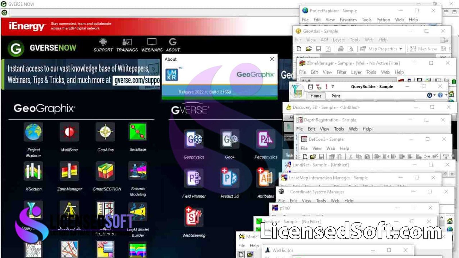
GVERSE GeoGraphix 2026 Full Version is a comprehensive geological interpretation, reservoir analysis, and exploration workflow software developed by Halliburton. You can also get HRH Gravitas 4.3.2 Full Version from LicensedSoft.
It is designed for geologists, geophysicists, and reservoir engineers working in oil and gas exploration and field development. GeoGraphix provides powerful tools for subsurface mapping, seismic interpretation, well data analysis, and integrated reservoir evaluation. You can also get Open Flow Suite 2025 Full Version from LicensedSoft.
The 2026 release introduces improved data handling performance, enhanced seismic interpretation tools, upgraded geological mapping capabilities, and better integration with modern exploration workflows. This version strengthens GeoGraphix’s capability for prospect generation, reservoir characterization, and basin analysis.
GVERSE GeoGraphix 2026 Key Features:
- Integrated Geological Mapping Tools
Create detailed structural maps, contour maps, and subsurface interpretations. - Seismic Interpretation & Horizon Mapping
Interpret seismic horizons and faults to understand complex subsurface structures. - Well Log Analysis & Correlation
Analyze and correlate well logs to improve stratigraphic and reservoir understanding. - Prospect Generation & Exploration Evaluation
Identify and evaluate hydrocarbon prospects using integrated geological and geophysical data. - Reservoir Characterization Tools
Model reservoir properties and analyze formation behavior. - 3D Visualization & Structural Modeling
Visualize geological formations and structural frameworks in 3D environments. - Data Integration & Database Management
Efficiently manage well, seismic, and geological datasets within a unified system. - Cross-Section & Stratigraphic Analysis
Generate geological cross-sections for detailed subsurface evaluation. - Mapping Automation & Reporting
Produce high-quality maps, reports, and technical outputs for exploration projects. - Performance Enhancements (2026 Edition)
Faster data processing, improved visualization performance, enhanced stability, and optimized workflows.
GVERSE GeoGraphix 2026 Package Includes:
- Full installation of GVERSE GeoGraphix 2026 Full Version
- Geological mapping and structural interpretation modules
- Seismic interpretation and horizon analysis tools
- Well log correlation and reservoir analysis features
- Visualization and reporting utilities
- Workflow templates and technical documentation
GVERSE GeoGraphix 2026 System Requirements:
- Operating System: Windows 10 / Windows 11 (64-bit)
- Processor: Multi-core Intel/AMD CPU
- RAM: Minimum 16 GB (32 GB+ recommended for large datasets)
- Graphics: Dedicated GPU recommended for 3D visualization
- Storage: 20+ GB free disk space
Final Words
GVERSE GeoGraphix 2026 Full Version is a powerful and integrated geological interpretation and exploration analysis solution designed to streamline subsurface workflows and improve exploration decision-making. By combining geological mapping, seismic interpretation, well analysis, and reservoir evaluation tools, GeoGraphix enables geoscientists to better understand subsurface structures and identify potential hydrocarbon reservoirs.
Whether used for basin analysis, prospect evaluation, reservoir characterization, or field development planning, GeoGraphix 2026 delivers the performance, integration, and analytical capabilities required for modern exploration projects.